Te Araroa is a relatively new trail and is still finding its feet. The official route changes every year, and very few people who have completed it will have hiked the exact same route. There are also plenty of opportunities for alternates and side trips. Below, I’m going to list some of the more common alternates and include GPX files to download. This list is in no way exhaustive, and I encourage any hikers to take a look at maps and explore different options.
The official TA route includes the Tongariro Alpine Crossing, which is the most popular day hike in New Zealand and deservedly so. However, there’s much more to see in the park, so many hikers choose to spend more time here. There are two popular options:
This circuit goes around Mt Mgauruhoe (Mt Doom) and is one of New Zealand’s Great Walks. With a slight modification TA hikers can take in the best of the Alpine crossing by hiking up to see the red crater and then walk the Northern Circuit route, taking a side trip to Tama lakes.
Because this route is a Great Walk freedom camping is not allowed, huts must be booked in advance and aren’t covered by the hut pass.
Another popular walk in Tongariro National Park, this 66km loop can be done in addition to the Alpine crossing if you want to spend a few more days in the park. The first 16km is on the Northern Circuit Great Walk, meaning camping and huts must be pre-booked. Once you’ve passed Waihohonu Hut (going clockwise), the rest of the huts and campsites are first-come, first-served, and are covered by the hut pass.
The Tararuas are famous for having terrible weather. If you’re lucky enough to have good weather when you get to Junction Knob, you can continue along the ridgeline instead of dropping down to Waitewaewae Hut.
Between Tunui and Tuiti, you’ll find a steel ladder to climb, hence the name.
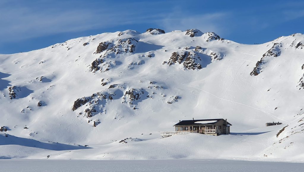
I don’t understand why this isn’t the official route! After a short walk around Lake Rotoiti, you climb up to Robert Ridge and follow it to Angelus Hut. After the hut, you can either go over Sunset Saddle, or if the weather isn’t looking great, Cascade Saddle is another option.
Angelus Hut is very popular and is frequently fully booked. So, if you want to stay in the hut, you may have to plan ahead (it’s not covered by the hut pass).
Arthur's Pass
Avalanche Peak and Devils Punch Bowl 9km – GPX File
More of a side trip than an alternate but since your passing through Arthur’s Pass anyway why not do a small day hike up to Avalanche Peak and Devils Punch Bowl Falls.
The TA skirts right by Mt Cook National Park, home to New Zealand’s tallest mountain. It’s a fairly short hitch from Twizel so a lot of hikers take the opportunity to visit. There loads of trails in the park the most popular being; Mueller Hut, Sefton Bivvy and Ball pass.
This is another alternate that in my opinion should be the official route. It’s a very good trail that vaguely follows a ridge with great views all round. There’s also the option to summit Mt Prospect.
I haven’t done this route so I wont say too much about it. From Wanaka you have the option of going to Mt Aspiring National Park and hiking over Cascade saddle and then following the Dart to Chainman’s bluff (trailhead).
Logistically this one is a bit of a pain since the start is 52kms from Wanaka and there’s nothing at the end either. Meaning either a big food carry or hitching back to Queenstown to resupply. It would also mean missing out on the Motatapu Track (official route) which I enjoyed.
My advice; do the official route and come back later for the Rees Dart and Cascade saddle or do it as a side trip from Queenstown.
The Routeburn is another of New Zealand’s Great Walks. The official TA route has a break in it after Queenstown and continues on the Greenstone track, West of Lake Wakatipu. Hikers commonly resume the trail at the start of the Routeburn and then take the Greenstone track back to the official route.
Because the Routeburn is a Great walk the huts have to be prebooked and are likely to be full booked during the summer. So you can either hike the Routeburn in one day or camp. Camping is not permitted within 500 metres of the trail on Great Walks. On the Routeburn there are side trails where it’s possible to get more than 500 metres away from the great walk trail.
Another common side trip rather than an alternate. Most hikers will come into Te Anau to resupply. Te Anau just so happens to be right next to another Great Walk.
By the time you get here you’re going to be trail fit so it’s very possible to hike the whole track in 2 days. I managed to book a camping spot at Iris burn at short notice, which is roughly half way and meant I could finish in 2 days.
Looking for hikes not on Te Araroa? Here’s some of my favourite New Zealand Hikes